PHG Preplans

Modernizing an old product.
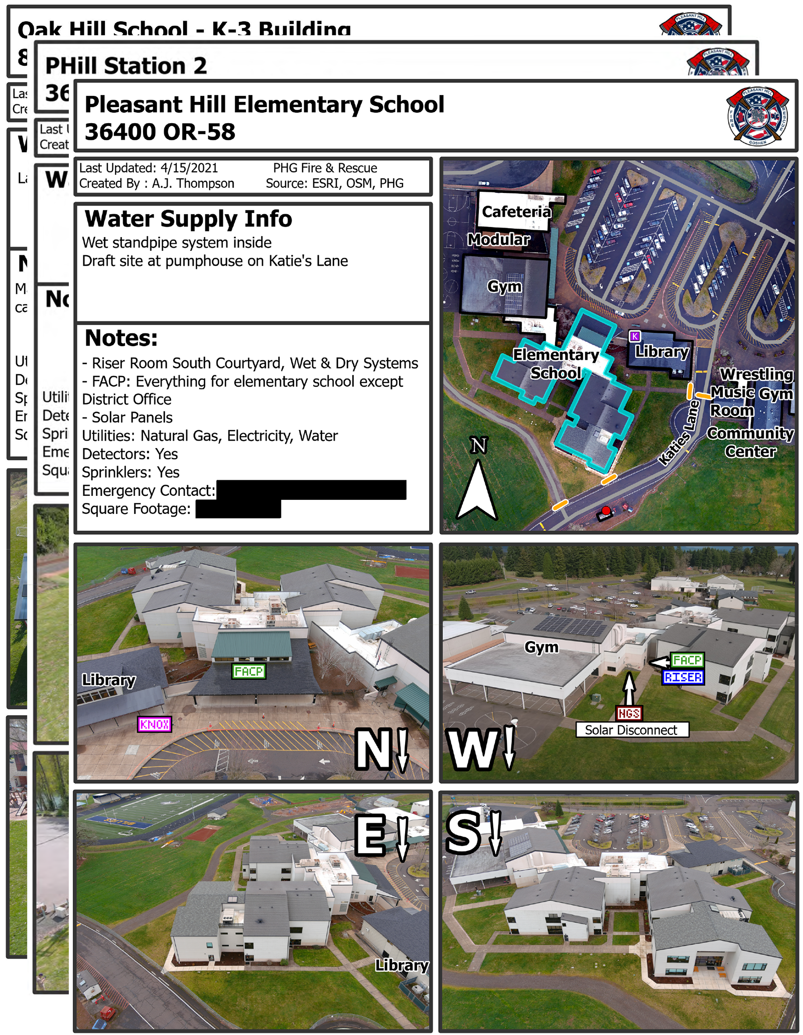
I created from scratch a modern and highly effective system for producing pre-fire plans. These documents combine GIS and Drone data into information that first responders can use when responding to emergencies. I designed an easy to use tool within Esri Field Maps for general data collection, and an automated system within ArcPro to produce the final documents. All of the plans created to date are in use by first responders and have become invaluable to the department.
View a sample Pre PlanAbout the project
This was my first major project while working for PHG. After learning about the emergency response process I noticed that the pre-incident plans that they used for responding to emergencies were very outdated and left a lot to be desired.
After having my idea to modernize the reports approved, I spent most of my first term as an intern developing a much more sophisticated system for both the now called "Pre Plans" and the system in which they are created.
I combined both my skills as a UAS pilot and GIS student to create a mostly automated system for collection and creation of the Pre Plans
Two sets of information are gathered in the field, first being the aerial imagery, these photos are taken to provide a clear view of the structure and are later annotated to show important infrastructure on the building
Next I created a fieldmaps tool that allows the acquisition of all relevant data pertaining to the structure, from contact info, to water supply information, to special hazards.
Upon completion of this project a large number of structures were collected across the fire district including all educational buildings. These preplans are now in use today by the fire department and are invaluable to their response process.
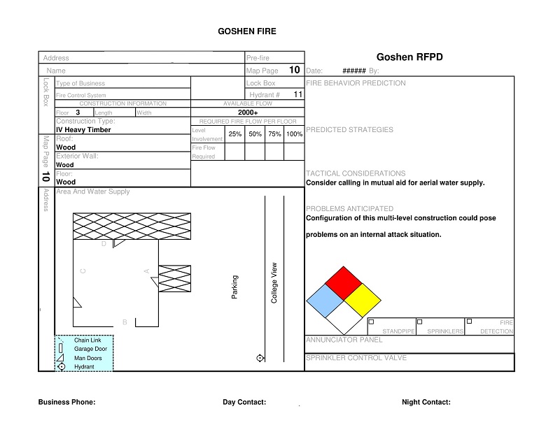
The old style

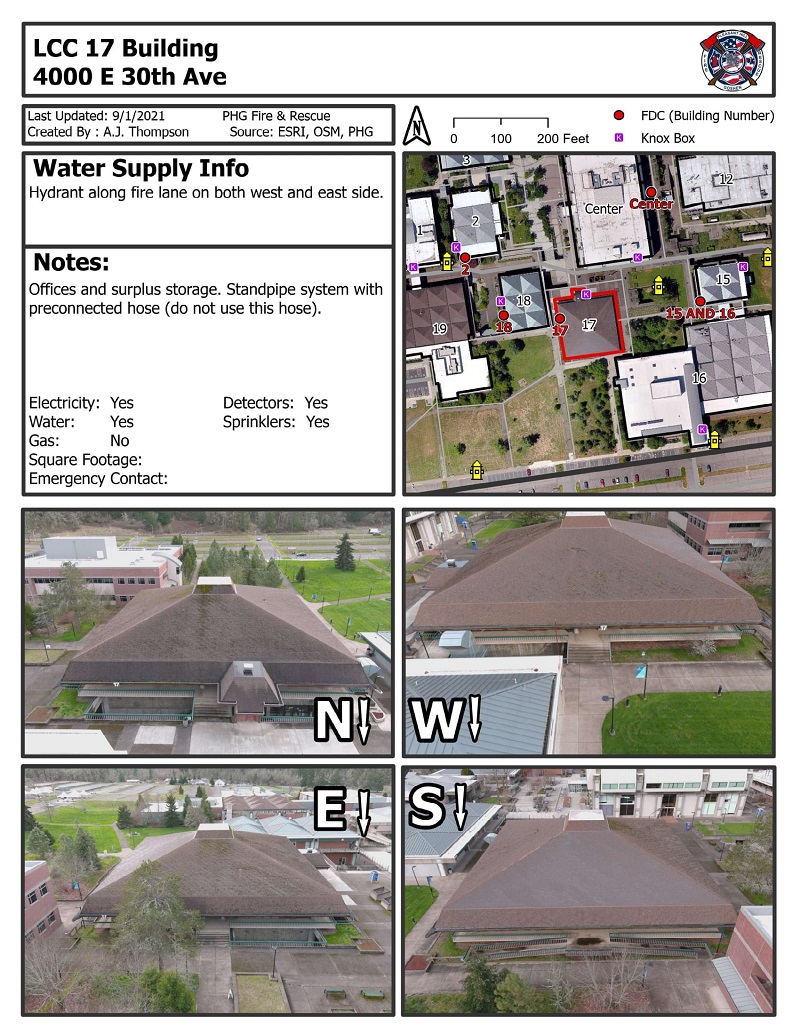
The new style
