UO Graduate and GIS Analyst
Recent Project

Projects Portfolio
Here are a few interesting projects I have worked on.
PHG Preplans
Created a modern and highly practical Pre Incident Report system for first responders
More DetailsPHG Legal boundary
Wrote a python script automating the process for writing a legal description for land boundary
More Details View on GitHubMap projects
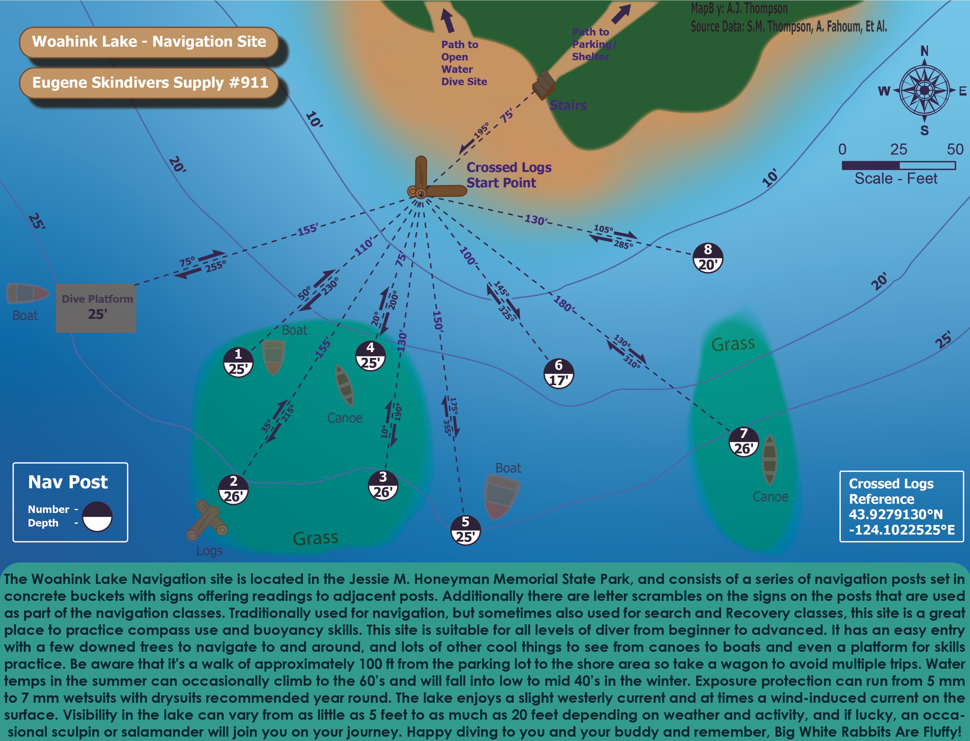
Here is a collection of various map projects I have completed over time, some of them are assigments from school, and several are from my expirience at the fire department.
View MapsWork Experience
GIS Analyst and UAS Pilot
Pleasant Hill Goshen Fire Department
Part time / Internship
January 2021 - Present
Worked on a wide variety of GIS related projects. Duties include in the field data collection, data processing management, creating final products for use by first responders, as well as Drone Operations as needed.
Irrigation Tech and Greens Crew
Eugene Country Club
Full Time / Seasonal
June 2018 - May 2022
Assisted in construction projects; maintained, repaired, and expanded the irrigation system as an Irrigation Tech; and General golf course maintenance.

